Comprehensive Drone Services
We provide innovative drone services for inspections, mapping, and photography to meet diverse needs.
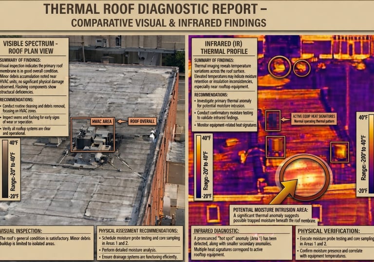
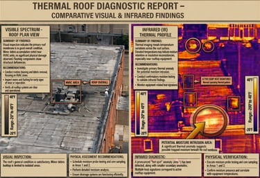
Thermography Inspections
Delivering high-level thermography assessments to offer valuable insights at a significantly lower expense compared to other inspection methods
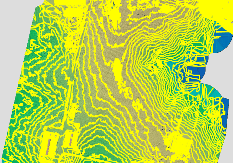
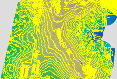
Aerial Mapping Solutions
Utilizing drones for precise 2D and 3D mapping services for various applications.
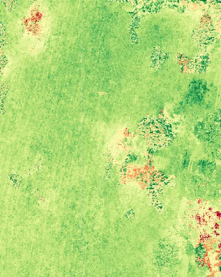
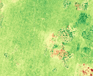
Expertise in crop management and wildlife monitoring with advanced aerial technology.
Crop and Wildlife Management
Frequently Asked Questions
What services do you offer?
We offer drone visual and thermal imaging inspections, 2D and 3D aerial mapping, crop management, wildlife management, and much more.
What is aerial mapping?
Aerial mapping involves capturing high-resolution images from drones to create detailed 2D and 3D maps for various applications and needs.
Where are you located?
We are based in Dawson Springs, Kentucky
What are the benefits of route-based surveys?
Aerial Route Surveys enables ongoing monitoring of a field for crop health, construction site advancements, and roof conditions over time.
Get in Touch with Us
Get in touch with us for expert drone services and requests.

